Children's Nonfiction Geography
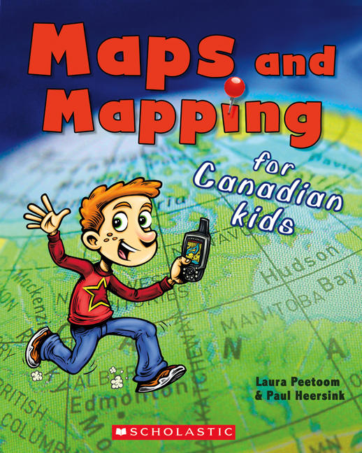
Maps and Mapping for Canadian Kids
- Publisher
- Scholastic Canada Ltd
- Initial publish date
- Oct 2011
- Category
- Geography
- Recommended Age
- 7 to 10
- Recommended Grade
- 2 to 5
-
Paperback / softback
- ISBN
- 9781443104937
- Publish Date
- Oct 2011
- List Price
- $7.99
Classroom Resources
Where to buy it
Description
Where in the world are you? Learn to read, understand and create maps.
Maps are pictures of places. They can be printed on paper or shown on a screen. A map shows you how to get around in a place that is unfamiliar. A map can even tell you new things about a place you know.
What is a map, anyway? How do they work? Maps and Mapping for Canadian Kids will walk kids through elements of a map. By discussing concepts such as scale, symbols, and colour, they'll see how maps work and how to read them. Basic principles of navigation explain how early explorers and navigators were able to chart the world, and Canada in particular. A special section on David Thompson highlights the achievements of this great Canadian cartographer.
About the authors
LAURA PEETOOM has written about mermaids, maps, and many other subjects. In addition to being the author of several books for children and young adults, Laura has worked extensively as an editor. She lives in Markham, Ontario.
Awards
- Commended, Best Books for Kids and Teens, Canadian Children's Book Centre
Librarian Reviews
Maps and Mapping for Canadian Kids
Learn the art of mapping with this easy-to-follow book! Find out how maps are made, how to use them and how they helped history’s great explorers chart the world. You can even learn about the famed cartographer, David Thompson!Source: The Canadian Children’s Book Centre. Best Books for Kids & Teens. Fall, 2012.
